
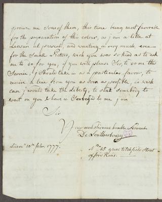
Letter from Philippe-Jacques de Loutherbourg to Mattw. Boulton Esq.

Page 1 of indenture entitled 'Conveyance of Lands in Stockton held by Lease for three Lives under the Bishop of Durham Mr. Reeve Mr. Thomas Smith and Mr. Rutter to Mr Samuel Smith

Cover page of indenture entitled 'Conveyance of Lands in Stockton held by Lease for three Lives under the Bishop of Durham Mr. Reeve Mr. Thomas Smith and Mr. Rutter to Mr Samuel Smith'

Page 5 of indenture entitled 'Conveyance of Lands in Stockton held by Lease for three Lives under the Bishop of Durham Mr. Reeve Mr. Thomas Smith and Mr. Rutter to Mr Samuel Smith

Page 4 of indenture entitled 'Conveyance of Lands in Stockton held by Lease for three Lives under the Bishop of Durham Mr. Reeve Mr. Thomas Smith and Mr. Rutter to Mr Samuel Smith

Page 2 of indenture entitled 'Conveyance of Lands in Stockton held by Lease for three Lives under the Bishop of Durham Mr. Reeve Mr. Thomas Smith and Mr. Rutter to Mr Samuel Smith

Receipt from J [?] Raisbeck for the Sugar House to George Hutchinson

Receipt from Messrs Raisbeck & Co for the Sugar House to John Wheatley for £0.13.2

Torn note referring to a payment of £5.0.0

Receipt from Mr John Raisbeck for the Sugar House to A Hall for £1.10.8 ½

Memorandum regarding letting buildings within the Sugar House premises

Note regarding £18.0.0 paid on the Sugar House mortgage from J S Raisbeck to Cuthbert Burrell

Note from John Staplyton Raisbeck to Cuthbert Burrell regarding a payment of £18.0.0 to paid on a £800.0.0 loan for the Sugar House

[Letter] London [to] Mr Goodrich, Portsea or at Mr Peake's Dockyard, Portsmouth/ Sam[ue]l Rehe. [He has received, for Goodrich, the Society of Arts' premium of £65]

Drawing of the dam and setting for the wharf at South Dock Pier in Portsmouth

Plan and section proposed for repairing the Old North Dock at Portsmouth
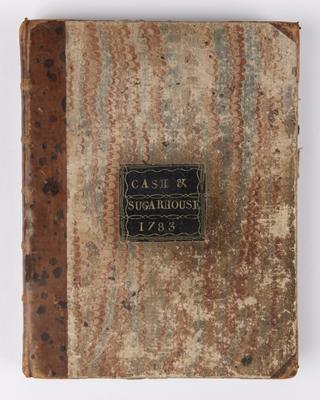
Cash book
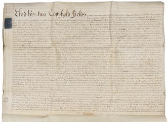
Page 3 of indenture entitled 'Conveyance of Lands in Stockton held by Lease for three Lives under the Bishop of Durham Mr. Reeve Mr. Thomas Smith and Mr. Rutter to Mr Samuel Smith
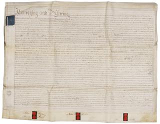
Page 6 of indenture entitled 'Conveyance of Lands in Stockton held by Lease for three Lives under the Bishop of Durham Mr. Reeve Mr. Thomas Smith and Mr. Rutter to Mr Samuel Smith

Pages 14 and 15 of the Robert Stephenson & Co Ltd minute book no.1

Note regarding payment of £18.0.0 on the Sugar House mortgage from J S Raisbeck to Cuthbert Burrell

Receipt from J S Raisbeck & Co to George Hutchinson for £8.14.3

Written order of the Bishop of Durham to J Stapleton Raisbeck

Warrant from the Chancellor of the County Palatine of Durham to John Stapleton Raisbeck

Receipt from Mr Raisbeck for the Sugar House for the Sugar House from A Christopher for £2.4.6 for the purchase of paper and a list of outgoing payments from Jn Raisbeck to Jn Hall, Mr Pickering and Mr Horn[?]for £4.16.7

Legal agreement between Thomas Clapton and Jacob Starrison
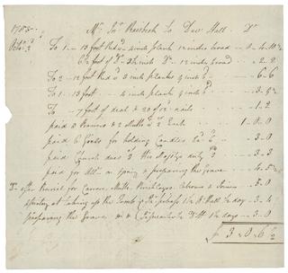
List of bills from Mr John Raisbeck to David Hall
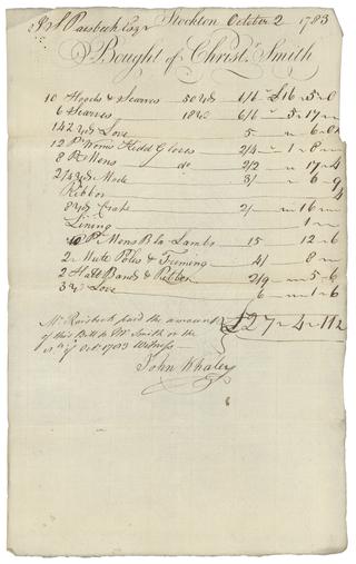
Bills for mother's funeral

Receipt from Mr Raisbeck to William Reed
